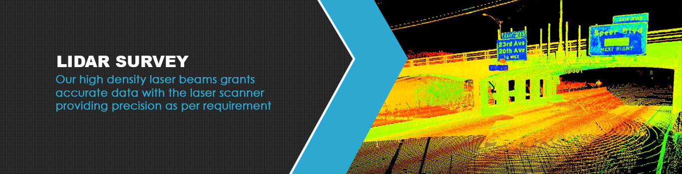
The laser based remote sensing technology from Solverra enables high density, high precision topography and road data. It uses millions of laser beams from point cloud data scanning and its reflection scanning. This reflects back as a Digital Surface Model. The LiDAR survey technology drives superior accuracy on the Digital Terrain Model and aids in road asset management and pavement assessment.
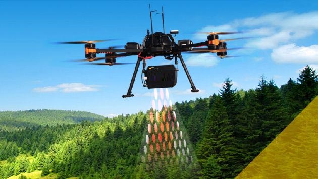
The uav LiDAR sensor system’s portability allows it to be mounted on multiple vehicles. The LiDAR laser scanner provides data precision from cm up to mm as per the specific scanning and data collection need.
We are one of the more evolved LiDAR manufacturers. The LiDAR scanning services can deliver calculation and analysis for roads, highways, and flyovers enable holistic road asset management and pavement assessment. The LiDAR survey technology can obtain high accuracy data for up to 100 km in a single day with high-density laser beams.
Some other reasons why you can opt for our light detection and ranging system include-
Call us to know more about the interesting practical applications in road asset survey and data collection with our LiDAR topographic survey system.