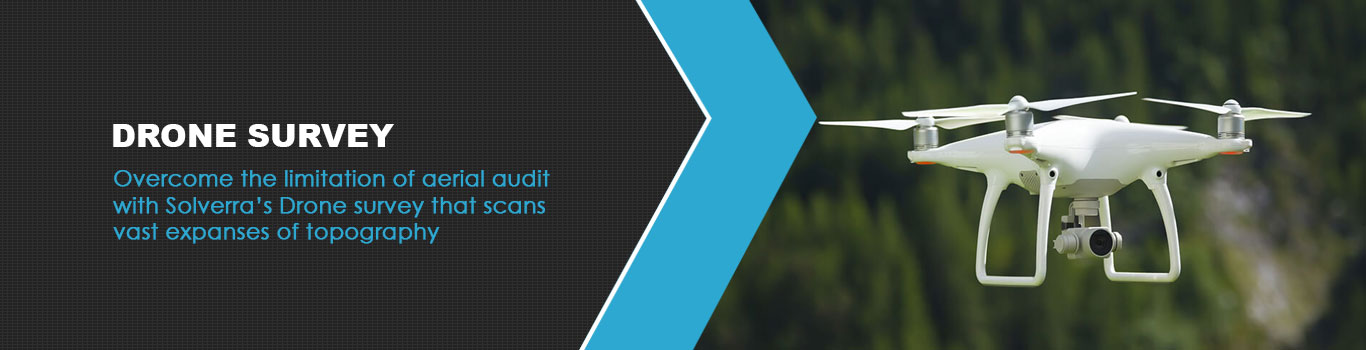
Solverra provides the Drone Survey services to its customers with high data accuracy, quality control, process-oriented approach, quick turnaround time and single point solution to all of your needs We are currently offering the following solutions in drone sector: -
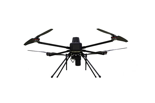
1. Quadcopter
2. 2. Fixed Wing
Our all drones are DGCA compliant and handled by experienced drone pilots
|
Deliverables |
Format |
Utilisation |
|
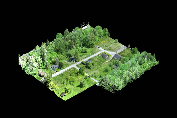
High Resolution ORTHO Mosaic |
GeoTiff (.tif), .kml |
Visualization, Digitisation,2D |
|
DSM & DTM |
GeoTiff (.tif),. las, .laz |
For Generation of Cross Section, |
|
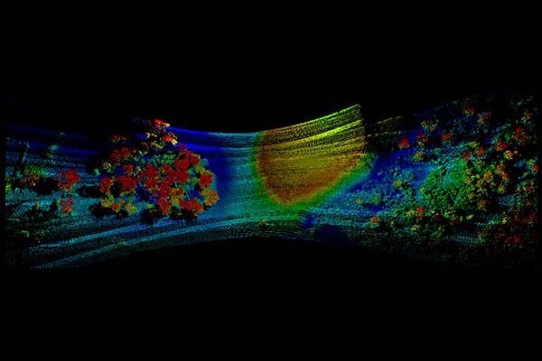
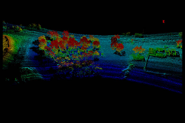
Colour 3D Point Cloud |
.las, .laz, .ply, |
For generation of various reports |
|
Contours and Cross Sections |
.shp, .dxf, .pdf |
For Slope and gradient analysis |
|
3D Image |
.ply, .fbx, .dxf, .obj, .pdf |
Orientation, Visualisation, Safety |
|
Excavation and stock volume |
Cubic Meter |
Daily Stock Volume Analysis |
|
Cadastral Mapping |
CAD |
Digitisation of all feature in |
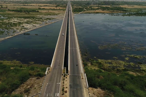
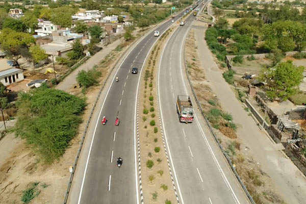
Traditional surface based mapping and land inspection work comes with a host of limitations. These include slower speed and lesser focus on ‘overall’ picture of the topography. There have been some advances to employ aerial vehicles like helicopters to conduct aerial surveys. However these are costly approaches and the less than satisfactory experience doesn’t justify the costs involved. For exactly this reason, our UAV for surveying and mapping services are preferred for infrastructure survey mapping across a large mass of land.
The drone 3D mapping and drone inspection services find multiple utility value for many industries. Be it construction or surveying, many companies find immense value proposition from our land surveying drones. As compared to traditional equipment perched within an aircraft a drone is a highly cost effective method to scan vast expanses of topography on a continuous basis. Get more out of your infrastructure planning projects at a fraction of the costs with our UAV aerial survey.
Solverra’s drone 3D mapping surveys are blended with new age image processing technique. As a result you get better clarity, sharper resolution, and phenomenal accuracy of the images rendered by the aerial surveys. We are at the forefront in delivering a cutting edge method of data aggregation with our swift, precise, and cost efficient drone survey solutions.
With this objective in mind, our drone topographic survey brings the best in technology and data accuracy with resolutions as high as 1cm per pixel. This amazing clarity provided by our drone survey equipment helps infrastructure planning officials and regulatory bodies to evaluate and plan better. They get the necessary data they need to optimize site operations. With the drone inspection services they can carry out maintenance with sufficient land topography data available with them through our drone surveys.
Be it encroachment zone detection, progress reports, smart city and urban planning, environmental studies, cut and fill estimation, contour maps, 3d volumetrics, rooftop analysis, tree canopy analysis, GIS survey, orthophoto production, or overburden zone detection, our aerial mapping drone are meant to deliver excellent outcomes in such exercises.
Our drone survey equipment data helps in orthomosaic analysis and digital surface model analysis. The unmanned aerial vehicle (UAV) can also be utilized for other crucial functions like tree counting, canopy area mapping, electric pole location with height of each pole, roads with center distance, height, length and area of man-made structures such as buildings/bridges/railway lines/side and cross drains.
If you are in the field of land survey, project consultancy, or smart city planning then you can use these land surveying drones to add amazing accuracy and detailing to your reports. The drone surveying assist other fields like civil engineering, township planning and development, and road and pavement construction. In case you are in real estate development, utility services, architecture, or disaster assessment, then our UAV surveys are just what you need to create an impact in your area of expertise and responsibilities.